


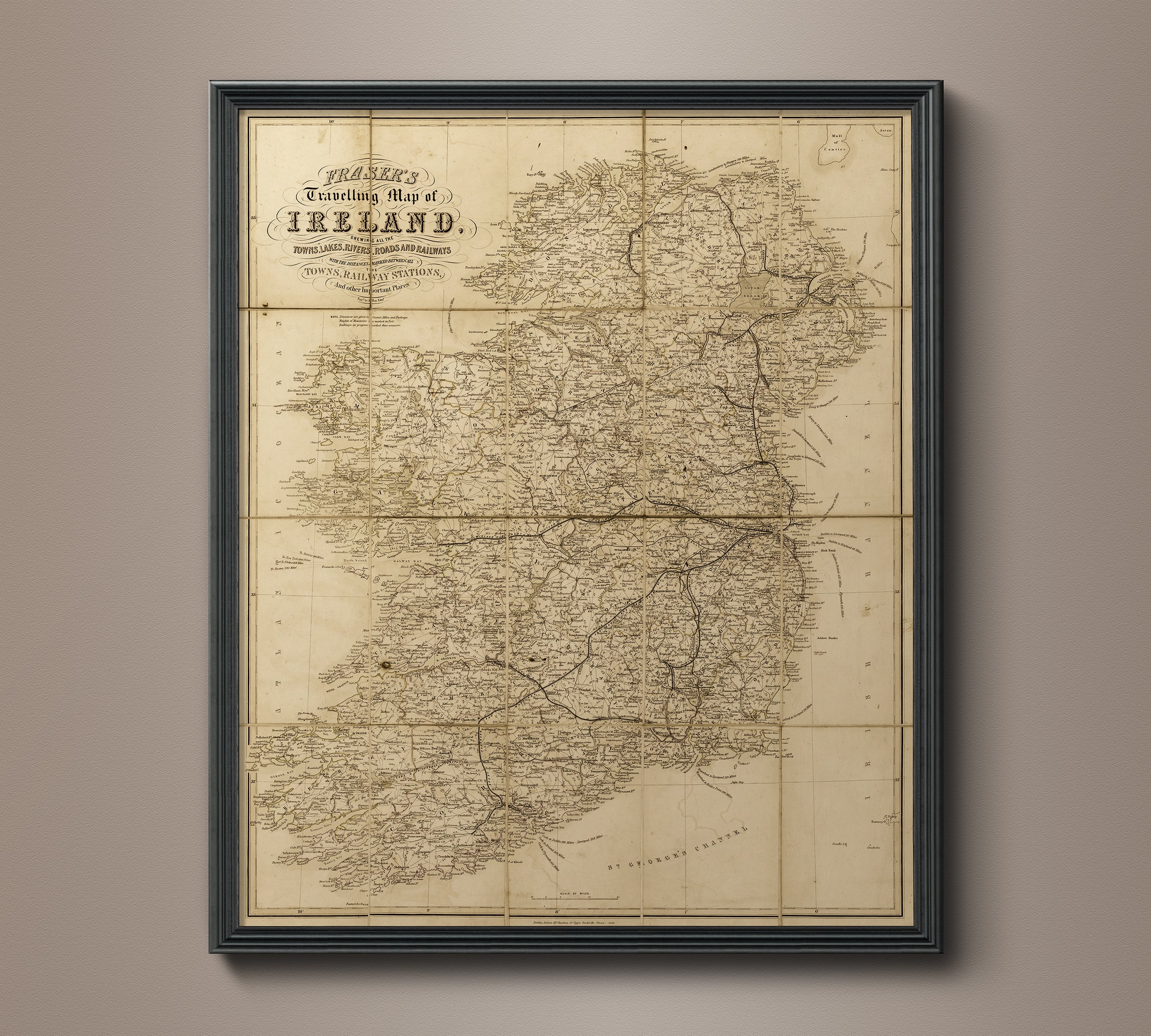
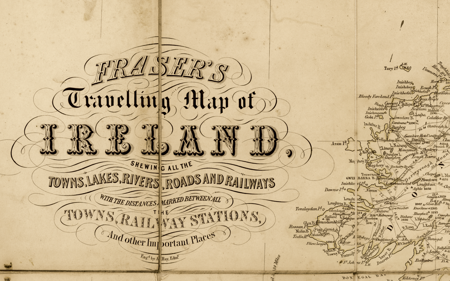
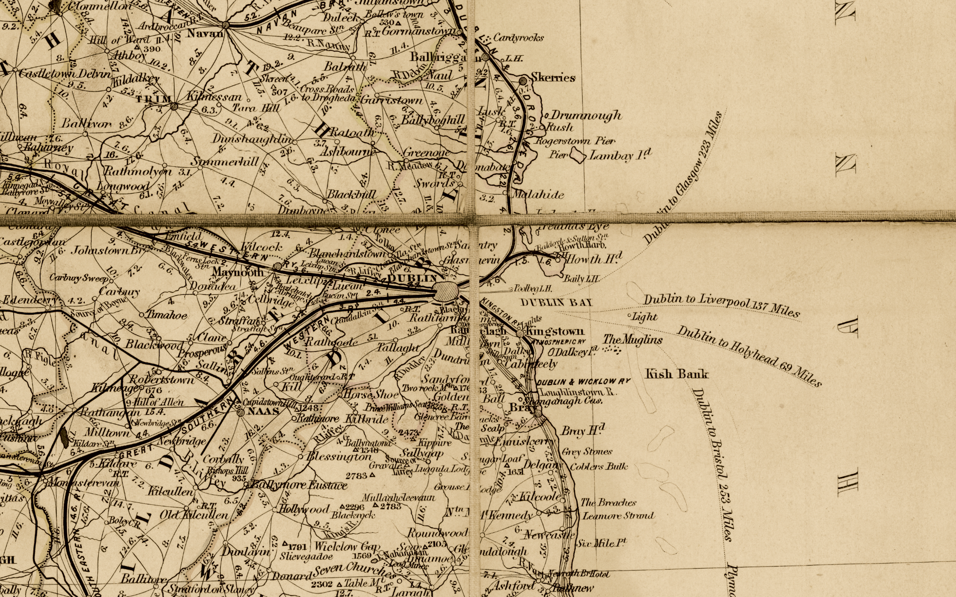
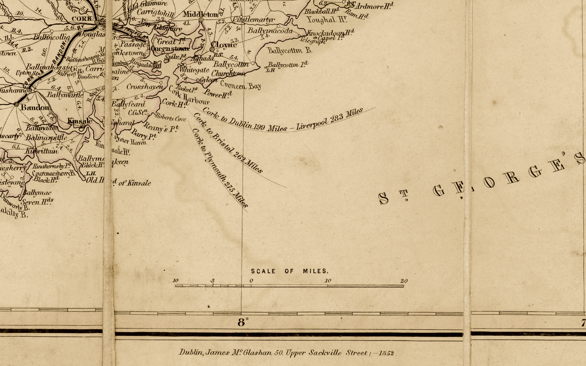
1852 Map of Ireland
- Regular Price
- $2,985.00
- Sale Price
- $2,985.00
- Regular Price
Sold Out
- Unit Price
- per
Free Shipping
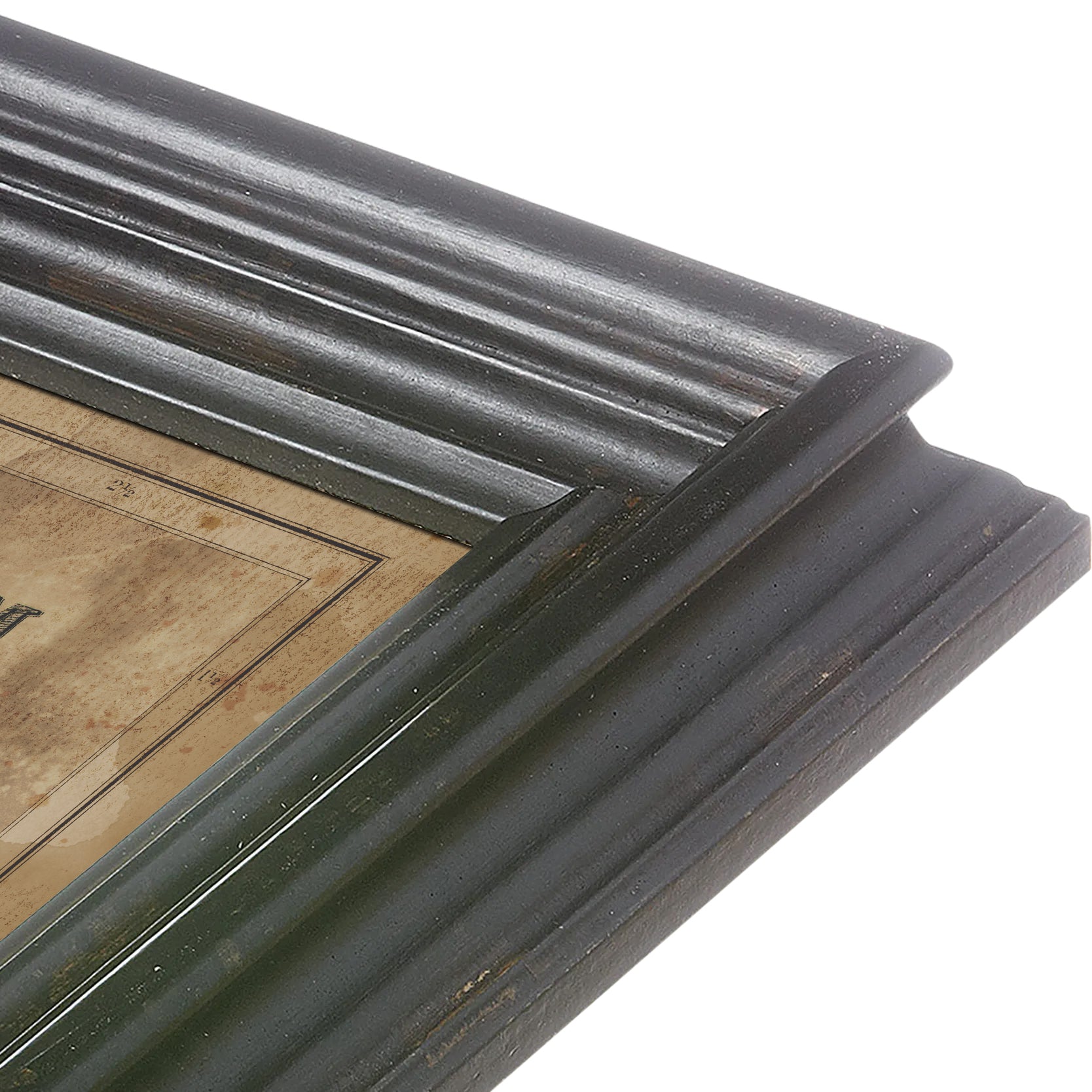
Originally published in 1852 Dublin, the map was designed as a pocket book map mounted on linen by Fraser Publishing Co, showing all the towns, lakes, ribers, road, and railways. The map has mottling and staining throughout, as well as fold and crease lines that are characteristic and hallmarks of vintage paper.