


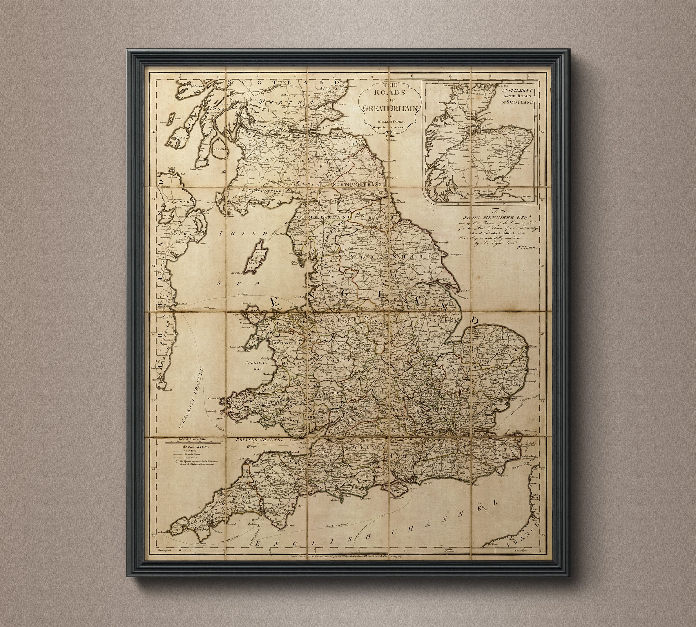
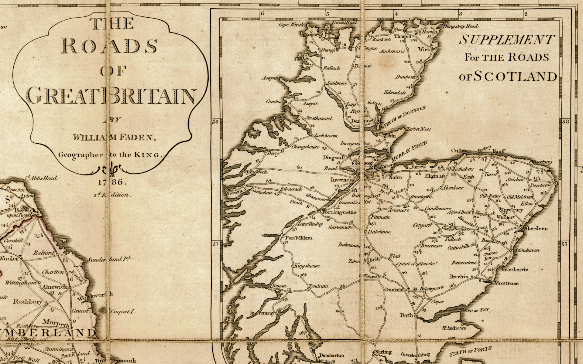
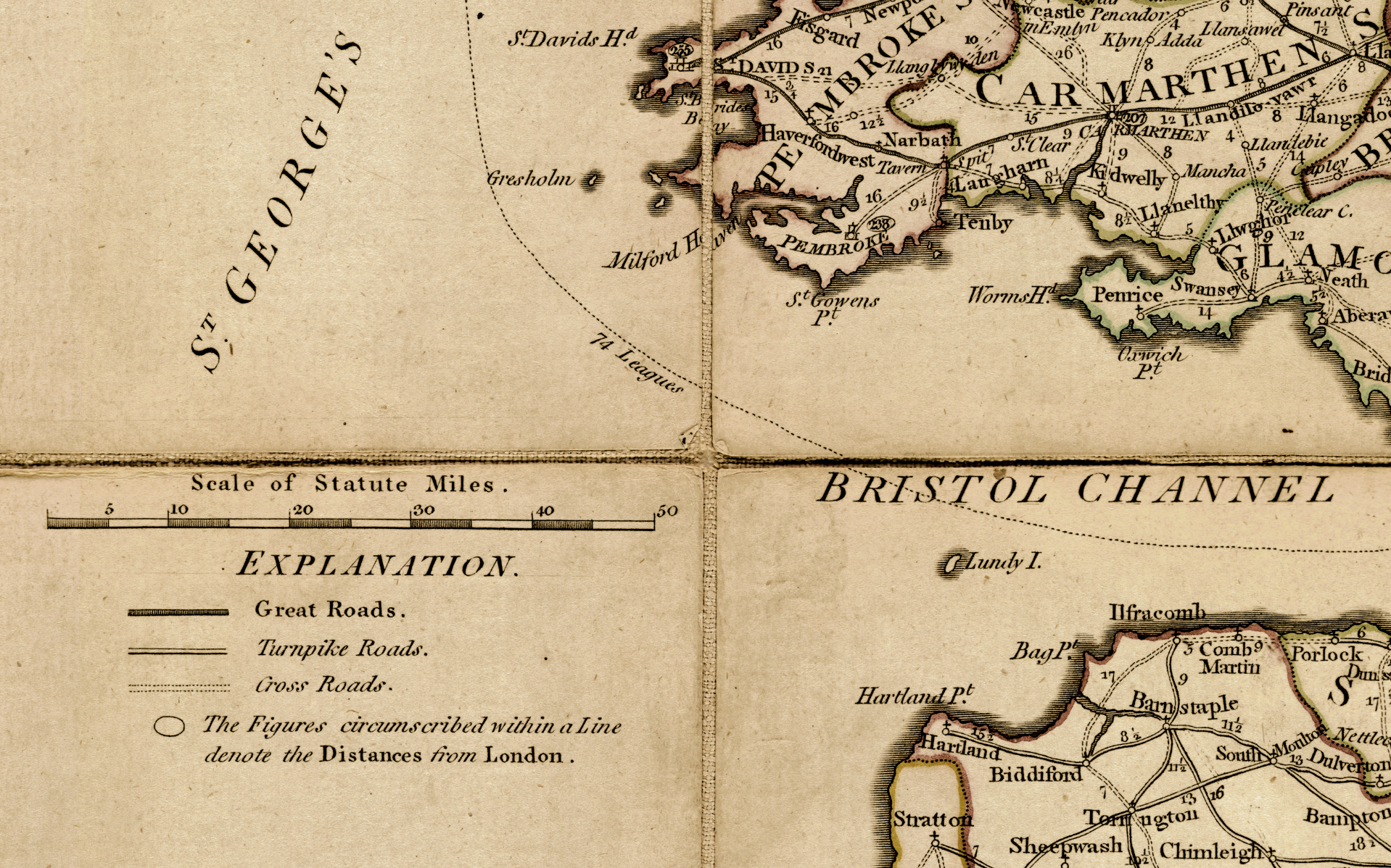
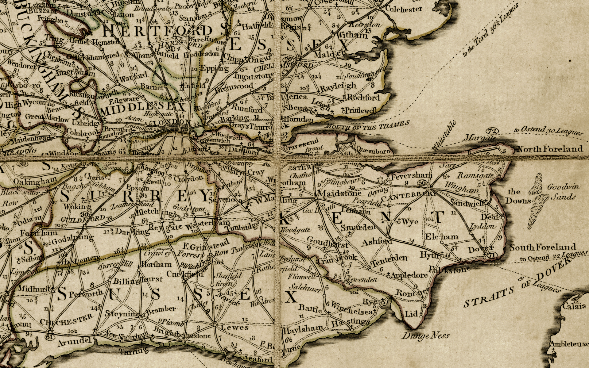
1786 Map of Great Britain
- Regular Price
- $2,895.00
- Sale Price
- $2,895.00
- Regular Price
Sold Out
- Unit Price
- per
Free Shipping
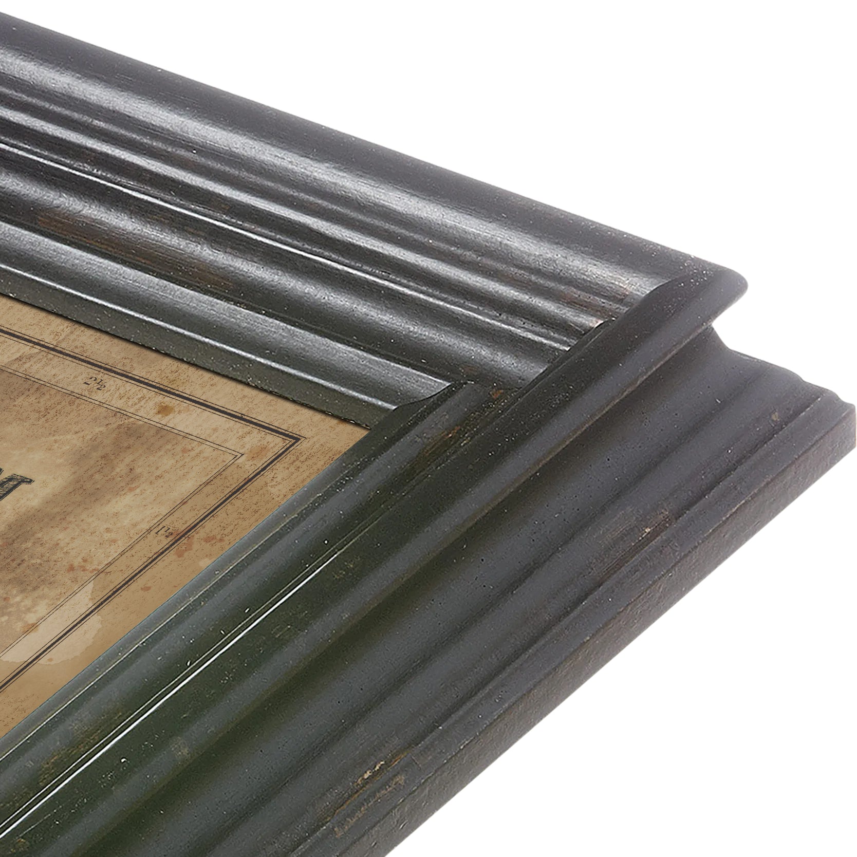
Originally created in 1786 by W Fadem, geographer to King George III. Our highly detailed reproduction features the great roads, turnpikes, and cross roads throughout Great Britain. Originally a pocket book map, creases and fold lines, as well as subtle mottling and staining throughout are reproduced and are hallmarks of antique paper.